The Transformation of Geography
(Santa Barbara, Calif.) — Digital maps and map apps have become so ubiquitous — think CoPilot, GPS, MapQuest and Map Factory — that many of us would be lost without them. The technology we now take for granted can be credited, in large part, to the vision and creativity of geographers who imagined its potential.
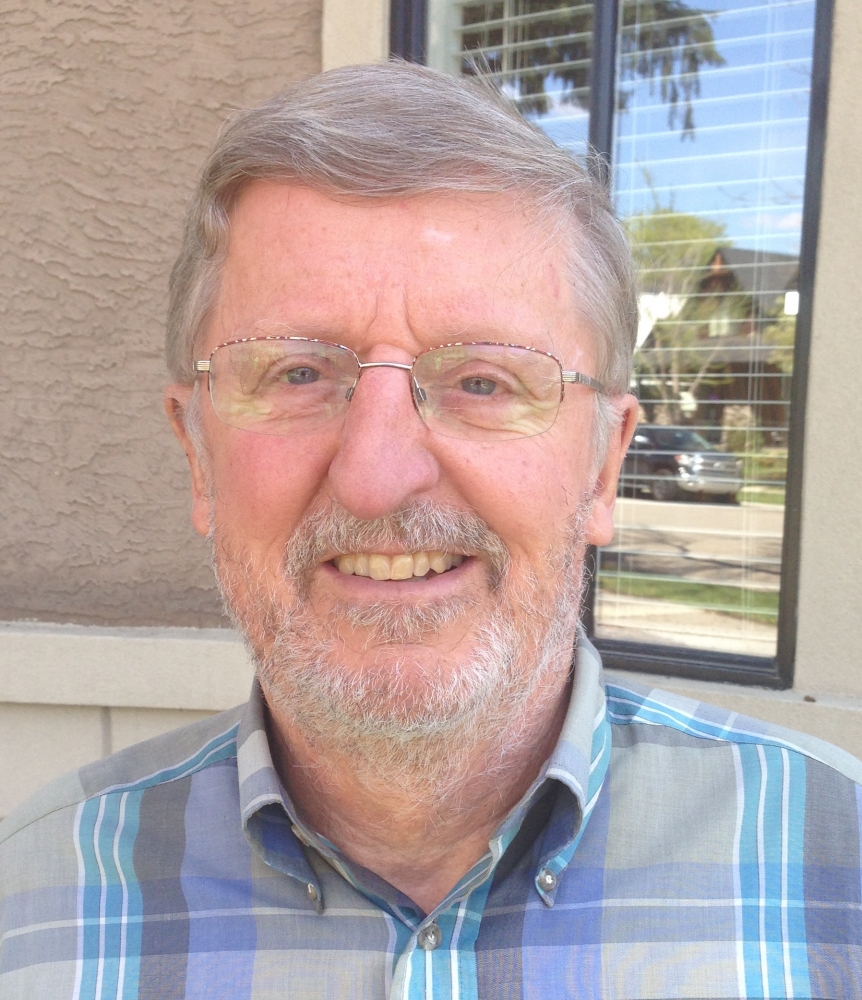
Take UC Santa Barbara geographer Michael Goodchild, for example; he helped transform the discipline and move it into the 21st century. In recognition of his accomplishments, the American Association of Geographers has presented Goodchild with the Stanley Brunn Award for Creativity in Geography. The award celebrates work that has demonstrated originality, creativity and significant intellectual breakthroughs in the field.
“Computers make it so much easier to edit maps,” said Goodchild, a professor emeritus in the Department of Geography. “Various tasks like map projections tend to be complex and mathematical, which makes them easy to deliver through a computer.
“A paper map is not terribly easy to analyze and something as simple as measuring the area of a city is actually quite a difficult task when performed by hand, but with a computer, it’s easy,” Goodchild continued. “For overlaying maps, instead of having to redraft a map as a transparency and then overlay it, you can overlay it digitally and then easily compute things like the areas of overlap.”
For more than 25 years, UC Santa Barbara has been instrumental in building a science behind geographic information systems (GIS). In 1992, a seminal paper by Goodchild helped transform GIS software from technology to science. Later his innovative work pioneered crowdsourcing as a way of gathering geographic information in much the same way that the navigation app Waze uses community-based traffic reports to provide the best route.
“The concept is that ordinary citizens help supply information to make maps by collecting geographic information,” Goodchild said. “At the time, I coined the phrase ‘volunteered geographic information.’”
Goodchild was also instrumental in creating a digital map library. “The whole process of going online, searching for geographic information, examining it, retrieving it and using it — which has now become very common — was a project that I, along with my colleagues, initiated in the early 1990s,” he said.
“Throughout his career, Mike had substantial influence on the nature and accessibility of GIS technology,” said Dan Montello, chair of the Department of Geography. “But he and his work were more important for the creative intellectual avenues they paved, the fascinating problems he imagined and communicated involving the nature and use of geographic information, and the appealing and understandable way he did what he did.”
Share this article
Related Stories