Geography Professor Co-Directs NSF’s New Spatiotemporal Innovation Center
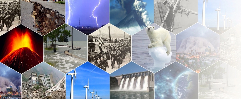
Many 21st-century challenges require a deep understanding of how natural and manmade phenomena — major earthquakes, volcanic eruptions, climate change and sustainable energy resources — are linked to one another. The largely virtual Spatiotemporal Innovation Center, a new National Science Foundation (NSF) Industry & University Cooperative Research Center (I/UCRC) with a presence at UC Santa Barbara, brings new perspectives to such issues.
“The initial set of projects at UCSB is quite varied,” said Keith Clarke, professor of geography and the center’s co-director. “Jeff Dozier at the Bren School of Environmental Science & Management will use satellite imagery to model and anticipate snowmelt in the Sierras. Geographer Krzysztof Janowicz will build linguistic models of how language relates to geographical objects. And my project will focus on developing methods to enhance human visual perception when viewing video.
“The common theme is geography, which means the projects take place within a fixed frame of reference — i.e., the geographic locations of features, landscapes, objects, etc. For instance, we used to make maps that were essentially static; they showed statistical themes or road distributions. Now we can show every vehicle moving along the roads so that the dynamics come into play,” Clarke said. “How do you communicate that? How do you draw people’s attention to changes and movement? And in particular, how do you use contemporary or next-generation computing to solve such Big Data problems?”
Funded by the I/UCRC program, the new center conducts shared research that features trailblazing new thinking, methodology and tools. Natural disasters happen in both space and time, for example, which requires that spatiotemporal principles and thinking be incorporated into computing processes.
“This new center will not only support cutting-edge research, it will also create something that bolsters alternative funding models, an inherent part of the Spatiotemporal Innovation Center’s structure,” Clarke said. “Research projects are no longer going to be supported by big government funds; they are going to be collaborative, of a relatively shorter duration and much more patent-oriented.”
The Spatiotemporal Innovation Center is projected to receive more than $2 million a year from numerous government and industry sponsors to conduct transformative research in collaboration with agencies and industry. Companies and non-NSF agencies can participate as members of the center by investing a limited amount of funding for projects of their direct interest. Membership also includes free access to all research and development results, whether or not directly sponsored.
Through long-term investigation and the expansion to other qualified and complementary universities, the center aims to advance human intelligence through spatiotemporal thinking; produce innovative spatiotemporal computer software and tools; and expand the human capability to respond to deep scientific questions and grand engineering challenges.
New products created as a result of the collaboration between industry and academia will assist the Spatiotemporal Innovation Center in achieving its ultimate goal: building the national and international spatiotemporal infrastructure.
Chaowei (Phil) Yang of George Mason University and Peter Bol of Harvard are the other co-directors, and UCSB’s Michael Goodchild, emeritus professor of geography, is chair of the board of directors.
Related Links
Share this article
Related Stories